Showing posts with label 2006 Slides. Show all posts

2006 Slide Show, Photo 18


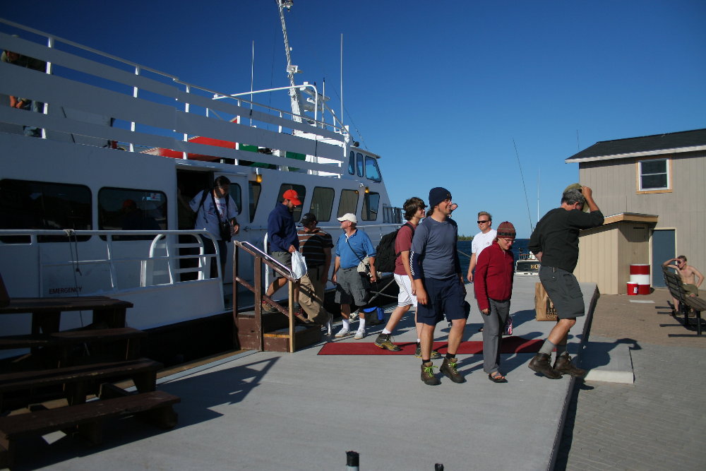
I close this year's slide show with a shot of some of our passengers disembarking from the Isle Royale Queen IV in Copper Harbor. This was taken the Sunday of Labor Day weekend, 2006. Note our beautiful new pier. It was a good summer. I hope you're planning a trip for 2007. More to come on this blog besides the annual slide show as the spirit moves me.

2006 Slide Show, Photo 17


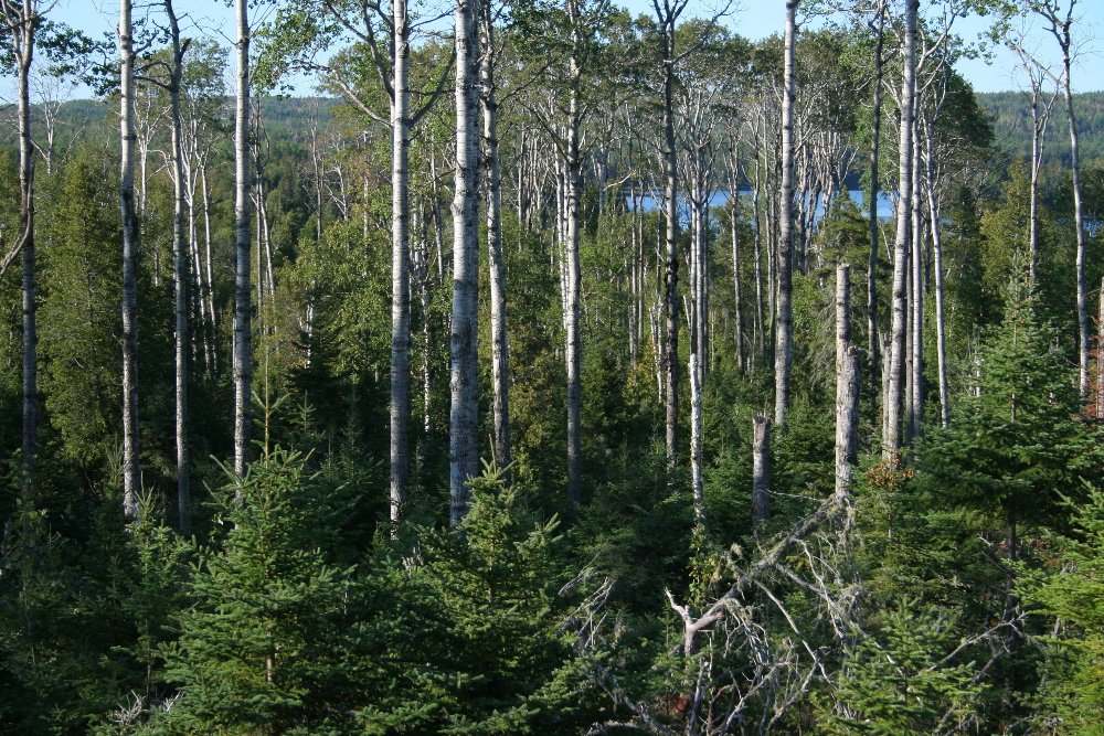
A shot along one of Isle Royale's nicest and easiest trails, from Moskey Basin to Lake Ritchie. It is always a satisfying moment when after a couple miles of fine hiking you finally see Ritchie come into view down the ridge east of the lake through the tall aspens that form stands all along the way. The view has changed a lot since my early days on the island, when I was a teenager in the early '70s. The forest up this ridge was denser and you couldn't see Ritchie in the distance, except for a very small glimpse. But the aspens have grown taller in the 30 intervening years and there have been other changes along this trail. I really enjoy this moment and always pause to savor it, and Lake Ritchie really is a beautiful place to visit at any time.

2006 Slide Show, Photo 16


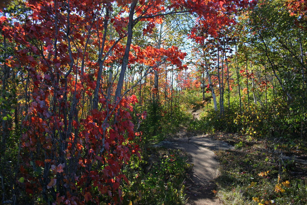
In early September, 2006, a touch of fall had come to the high ridges of the island. That's not so strange, but there was more color than usual, at least in my memory. The splash of color along the Greenstone Ridge, the spine of the island, was brought about by the maples turning early in 2006. This shot was taken on a wonderfully cool, sunny late afternoon on the trail from Daisy Farm to Mount Ojibway. It's a nice trail that gives you just about every kind of terrain found on Isle Royale in a two-mile hike -- ridge, forest, swamp. And there is the reward of the view at the end, that great vista to be seen from the Ojibway Fire Tower.

2006 Slide Show, Photo 15


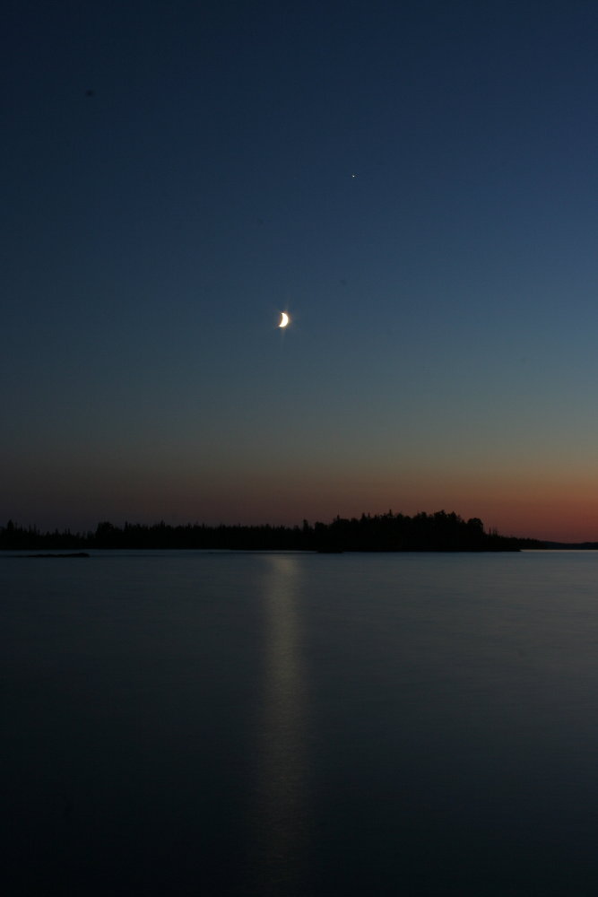
Oh what an evening it was! This shot was taken from the Tooker's Island dock one August evening, at about 10:00. That's Inner Hill Island in the distance and Rock Harbor to the right. Open Lake Superior is on the left, out of the picture. My Dad used to say always that one of the special moments on the Big Lake is when the moonbeams fall across the water. And here they are, caught on film. You can order this as a large print from me. I can even frame it for you. My daughter Miranda and I are going to be putting up an Isle Royale Store some time soon, with clothing and photos and other IR items.

2006 Slide Show, Photo 14


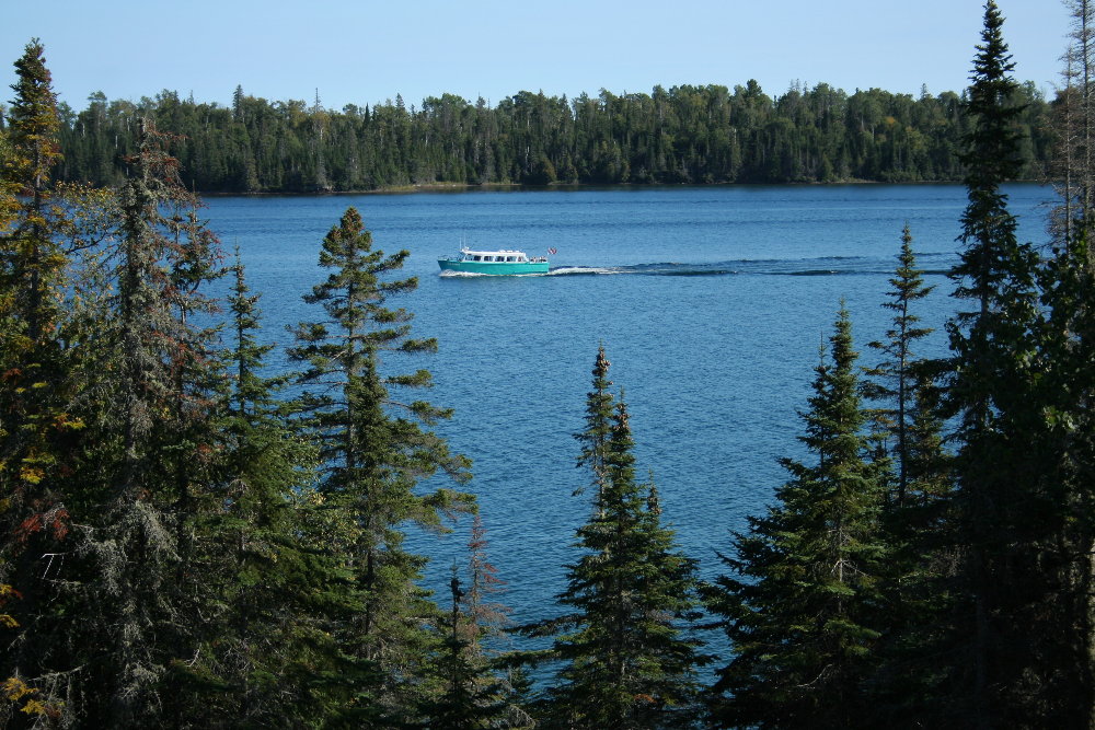
The M/V Sandy passing by on Rock Harbor. The Sandy is the touring vessel of the Rock Harbor Lodge. It makes trips to various locations, near and far, on the northeast end of Isle Royale. I've taken many trips on the Sandy over the years and have always enjoyed Captain Ron Jeddda's narrations. The Sandy also makes a few trips up and down Rock Harbor as a water taxi, though the Lodge uses other, smaller, faster boats for that service more often. They can reach locations farther out on the island with their fast boats.

2006 Slide Show, Photo 13


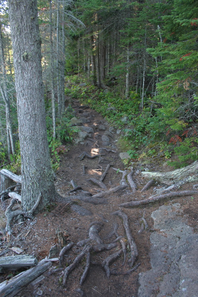
Along the Rock Harbor trail, late August. Here's a good look at harborside trail conditions nowadays on the island. You frequently come across long sections of trail that are criss-crossed with roots and dotted with rather good-sized rocks. Wear good ankle-high boots is my recommendation. This part of the RH trail is directly across from Mott Island and close to the old Siskiwit Mine, which is still a very interesting place to explore in the dense thickets surrounding the old mine shafts. The area has become increasing overgrown in the past couple decades, so it must look completely different from how it looked in the late 1800s, when miners worked along Rock Harbor. Rather hard to believe any longer that mining ever took place out here, so far have we come from the copper mining boom days of long ago.

2006 Slide Show, Photo 12

A thicket. Sometimes you want to go off trail to find some berries or inspect a patch of wild flowers or to get a wider view. And often as not you wind up working your butt off scratching your way through thickets like this one, on Inner Hill Island on Rock Harbor. The forests of Isle Royale are often daunting, mostly because of downed trees. The reason there are so many downed trees: the soil is thin, the trees don't put down deep roots, the island is exposed to heavy winds off Lake Superior, and, as consequence of these conditions, many trees, large and small, get blown down before their time and wind up creating difficult tangles in the woods.

2006 Slide Show, Photo 11

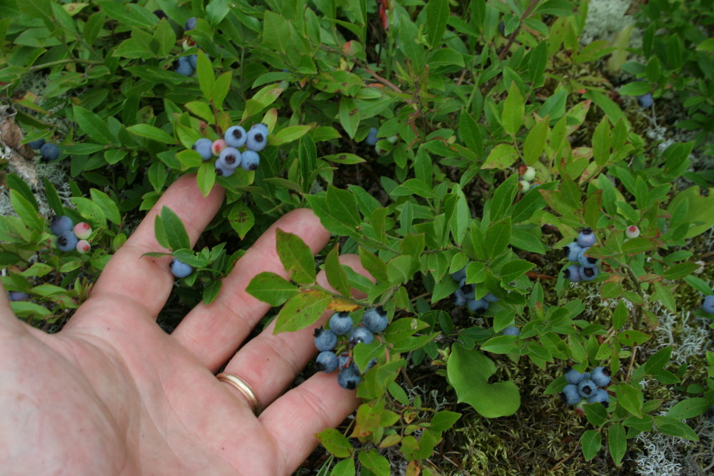
I promised to get back to the island's berry crop. Here's a shot of some of the wild blueberries that I picked one day in mid-August. The blueberry season was very short. It was just too dry. But the berries were excellent, large and abundant, for a brief time, as you can see from the photo. Berry season is always a favorite time for me and other members of the family, especially my brother Captain Don Kilpela, who loves Isle Royale thimbleberries, which come out near the end of August on the island. That's almost a month after the thimbleberries come out in force on the Michigan mainland.

2006 Slide Show, Photo 10


Two backpackers passing on the Rock Harbor Trail. It's been so dry the hiking was generally excellent on the island this past summer. The only problem was the dust. Hikers tramped on the ground without rain for so long that a thin layer of very fine dirt formed along many long stretches of trail. That's nothing to complain about, but it was certainly a little odd. I did a lot of hiking on my days at the island this year. I've been spending most of my time in my canoe in recent years, but I might try to get in a little more hiking since I enjoyed the walks I took so much.

2006 Slide Show, Photo 9


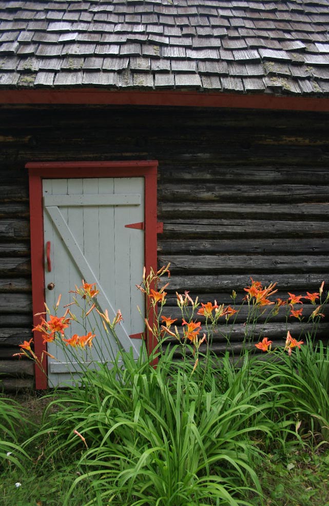
It was a somewhat dark and blustery afternoon in early September when I went down to the historic Edison fishery for a visit. The fisherman and his wife were gone to Mott for supplies, so I was there alone. Walking back to the visitor's dock to get in my boat, I stopped by the main house and found this patch of day lilies blooming by the back door. You never know when flowers will bloom on the island, and there are often surprises late in the season. Before I saw this shot, I had spent some time over at the Rock Harbor Lighthouse, which is close by, but I couldn't get my boat up on the stone beach there, as is my usual parking practice, because of the heavy seas rolling into Middle Island Passage.

2006 Slide Show, Photo 7

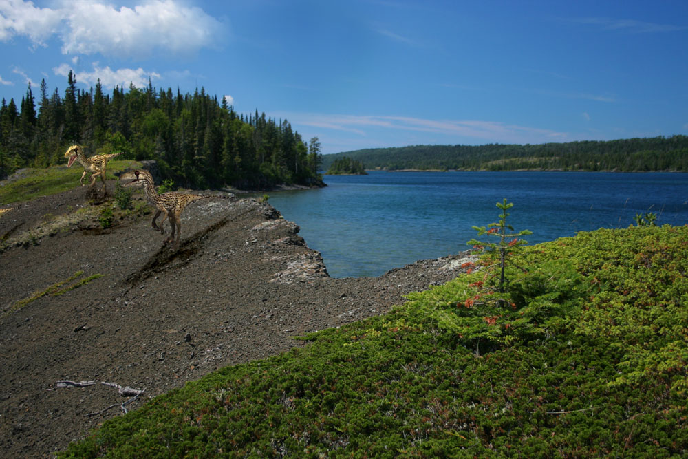
Here's one to startle you. Edwards Island, Isle Royale, at the northeast end of Tobin Harbor, and over the ridge comes a pair of dangerous velociraptors. Yes, this is a bit of digital chicanery, done to one of my own photos by my 14-year-old son Logan, who can be found in other annual Isle Royale slide shows. Log' has been working with Photoshop Elelments lately, and he's made a few Isle Royale dino shots. There was no island in this location, science has decided, 65 million years ago, when the dinosaurs ruled. Still, the ridges that form the island today did exist back then, having been created hundreds of millions of years before the dinosaurs inhabited the Earth. Those ridges came into being when the vast solidified lava lakes of the Great Midcontinent Rift (which occured about 1 billion years ago and was located, in part, where Lake Superior now lies) became so heavy that the crust of the Earth sank into the mantle and the ends of those dozens of layers of cooled lava bent upward. Those massive, miles-upon-miles-wide, broken, bent-up slabs of the Earth's crust formed the ridges of the Keweenaw Peninusla to the southeast and of Isle Royale to the northwest, as though they were the rims of a bowl. Dinosaurs lived in areas not so distantly west of the Lake Superior region, and at the same latutude. I have never read, however, whether dinorsaurs once hiked the ridges that would become the bones of Isle Royale tens of millions of years later. It was a mere 10,000 years or so ago that the last great Ice Age created the glaciers that formed Lake Superior and the island, which was made a national park of the United States in 1940.
2006 Slide Show, Photo 8


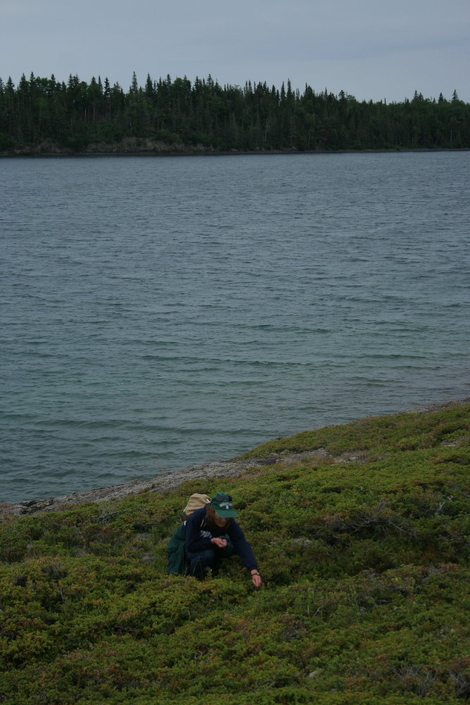
This shot was taken on the same day as Slide 6 of my son Drew. This time, though, I give you a shot of my wife Marsha, nestled down in broad carpets of juniper, picking blueberries on Long Island, just up Tobin Harbor from Porter Island. That's Edwards Island in the distance across the harbor.

2006 Slide Show, Photo 6

This is my son Drew, now 11 years old, picking blueberries on Porter Island near the northeast end of Tobin Harbor in late August. I think it's interesting that Drew looks as though he is picking juniper berries. Often, wild blueberry plants are tangled with spreading juniper on Isle Royale's ridges and outcroppings. Most of the blueberries, Drew is telling me as I type here in Mason, MI, on Christmas Day, were yet to ripen. My memory is different. I thought we found plenty and that they were in pretty good shape. Maybe it was just the location he was picking in, up high on the ridge that forms Porter Island. In any case, we had a great time, picking and exploring and cruising the harbors and coves, even though the rain was spitting.

2006 Slide Show, Photo 5


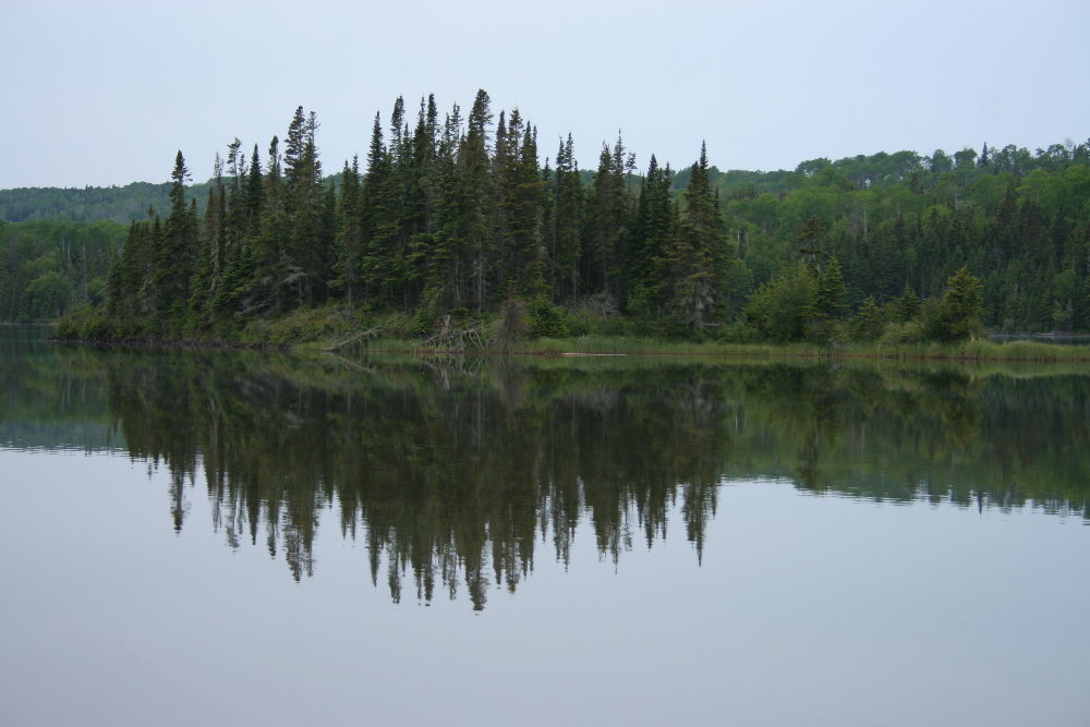
A quiet evening along Tobin Harbor. It was late summer, and I was snooping for moose, and so staying very, very quiet. None were to be heard or found, but the subtle beauties of Isle Royale on a day of heavy cloud-cover were on display. I love and cherish these calm moments late on a gloomy day, just before the gloaming (to offer a bit of heavy-handed alliteration for all present and former English majors out there). There was hardly a sound, except for the occasional bleat of a loon or two far away up the harbor. It would rain a bit later, but these moments along this passage among Tobin islands near Thompson Island have become a special memory.

2006 Slide Show, Photo 4


What a glorious spring on Isle Royale it was in 2006. Spring in summer? you ask. Well, yes. Spring on the island comes about 4 weeks later than elsewhere in northern Michigan, so in June we are still in spring on Isle Royale, though we call it summer. To repeat, things have been dry, near drought in the Lake Superior Basin for some time. But there has been just enough rain at just the right times to have some beautiful spring conditions here and there, such as along the Tobin Harbor Trail, where I took this shot of a hearty phalanx of bunchberries, or Canada dogwood. Note the dense stand of spruce along this section of trail, not an uncommon site along the northeast harbors. Such thickets are the indirect result of moose gluttony, since their love of balsam fir strictly represses the growth of balsam, which gives spruce the power to dominate. This is changing, though. With the moose population down for almost 10 years now, stands of balsam have once again gained a toehold here and there in areas that the spruce once thought secure for their own kind.

2006 Slide Show, Photo 3

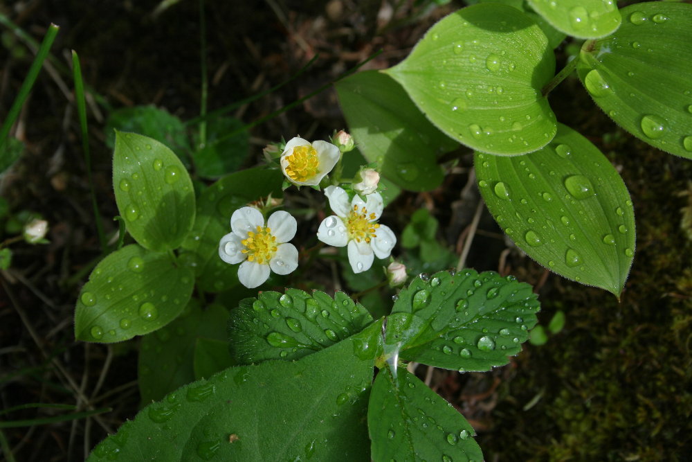
Taken along the Scoville Point Trail in late June. These are wild strawberry flowers in the sunshine after a short afternoon rain. The island continued to suffer near-drought conditions throughout most of the summer, however. The strawberry crop turned out rather poor. I must admit, though, that the raspberries and the blueberries both came in with excellent crops in summer 2006. That's a bit odd, since I was expecting raspberries to flourish in the dry weather and blueberries to get quickly burned out. But a few days of brief rain at the right time seemed to save the blueberries. More on this coming later.

2006 Slide Show, Photo 2


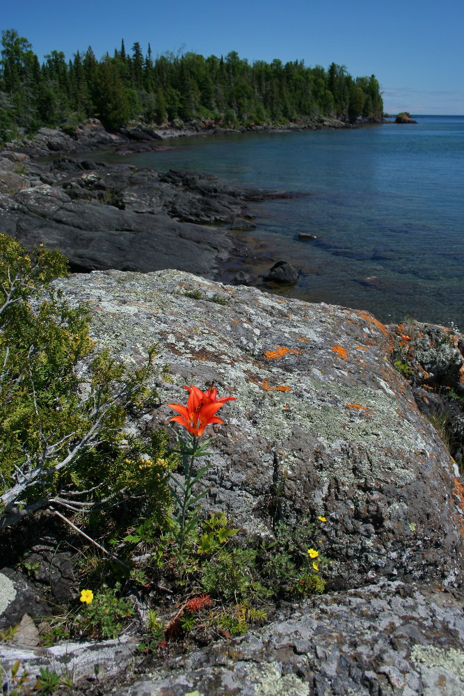
In July, I took a paddle by canoe out to Laurel Lei Lane (I'm unsure of the spelling, by the way) and visited the shallow, narrow gap between Shaw and Smithwick Islands. This shot is from Shaw looking northeast toward Smithwick on a spectacular Isle Royale summer day. That, of course, is a wood lily in the foreground. This is a favorite place for me on IR -- the whole of Laurel Lei Lane, I mean. (Well, perhaps I should point out that I have a hundred or so "favorite" places on IR, so I don't how meaningful the adjective is in this context. I suppose my favorite of favorites is the place I happen to be in at any one moment.) It runs from Raspberry Island on the NE to Mott Island on the SW about 4 miles or so. I am often found paddling out in the Lane on a summer's day. Shaw Island doesn't seem to get quite as much traffic as Smithwick Island. Shaw is almost all solid rock on its edges, as shown in this photo, whereas Smithwick has a few cobble beaches to land a canoe or kayak.

2006 Slide Show, Photo 1


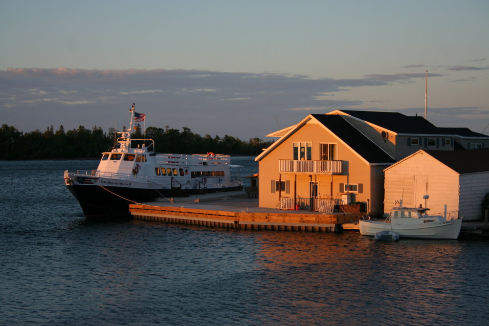
Let's start out this year's slide show with a shot in Copper Harbor of the new Isle Royale Queen IV at the Queen dock in the center of town. 2006 was the first full summer of operation for the Queen IV. But notice the brand-new dock, which was yet another improvement to the service provided by the Kilpela family. We had a great year with the new boat. People seemed to be very pleased with the much faster service to the island -- just a little more than 3 hours one-way. And we took many more day-trippers to the island than ever before. She takes the seas a bit better, too, and people always appreciate that. The Queen IV is a little more than 100 feet long, tip to tip. We're considering more improvements in the next few years.